15 Feb, 2023
The Map of Adaptation Actions: Inspiring stories for climate resilience
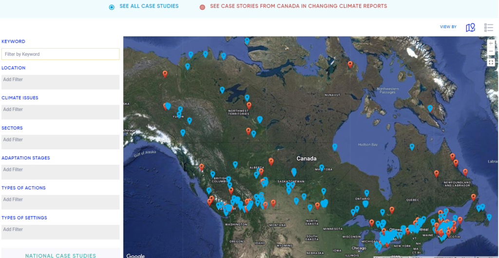
The Map of Adaptation Actions is a user-friendly tool that showcases examples of adaptation actions taking place across Canada. The Map is aimed at decision-makers and practitioners and provides examples of how Canadians are adapting to climate change, with the intention to inspire others to act. The map was co-created by the Canadian Centre of Climate Services (Environment and Climate Change Canada) and the Climate Change Impacts and Adaptation Division (Natural Resources Canada), with contributions from the Climate Risk Institute, ICLEI Canada, and the Institute for Catastrophic Loss Reduction.
The searchable and interactive map allows viewers to learn about adaptation action through case studies and case stories. The map’s case stories are examples of adaptation projects that have gone through a national assessment process and have been denoted with red icons on the map. The map is intended to inspire ideas for how to act on or plan for climate change adaptation with hundreds of stories from across the country. It highlights national adaptation projects as well as Prairie-specific adaptation actions, such as helping the agricultural industry learn about a water management adaptation strategy in Saskatchewan.
Learn more about the Map of Adaptation Actions at our upcoming webinar on February 28th at 1pm CST.
A Community Point of View: High River’s flood resilience
During the upcoming webinar we will hear from the Town of High River, who has their climate adaptation story featured on the Map of Adaptation Actions. The case study shares how in 2013 the Town of High River, situated south of Calgary, Alberta, experienced one of the most catastrophic disasters in Canadian history, costing more than $5 billion. The Town of High River bore a heavy toll from the flood, resulting in the evacuation of 13,400 people and damaging 6,300 structures.
The flooding spurred High River to respond to climate change and its potential impacts—and was the impetus for prioritizing adaptation planning and actions. With the buy-in from all levels of the community, High River focused on three main adaptation actions: building dikes, moving a poorly located bridge, and beginning to widen the river’s floodplain by buying properties and moving infrastructure and homes to areas less impacted by flooding.
A key part of High River’s adaptation actions was preparing its built infrastructure to be resilient to its future climate. For instance, High River has taken steps to ensure infrastructure in areas at high risk of flooding has either been moved or is protected through additional measures, such as using dikes to control future floods.
High River knew that if the community didn’t adapt immediately to become more resilient to future flooding events, it would remain extremely vulnerable. Through its actions, High River is now considered one of the most flood resilient communities in Canada.
How can I use the Map of Adaptation Actions to find more examples?
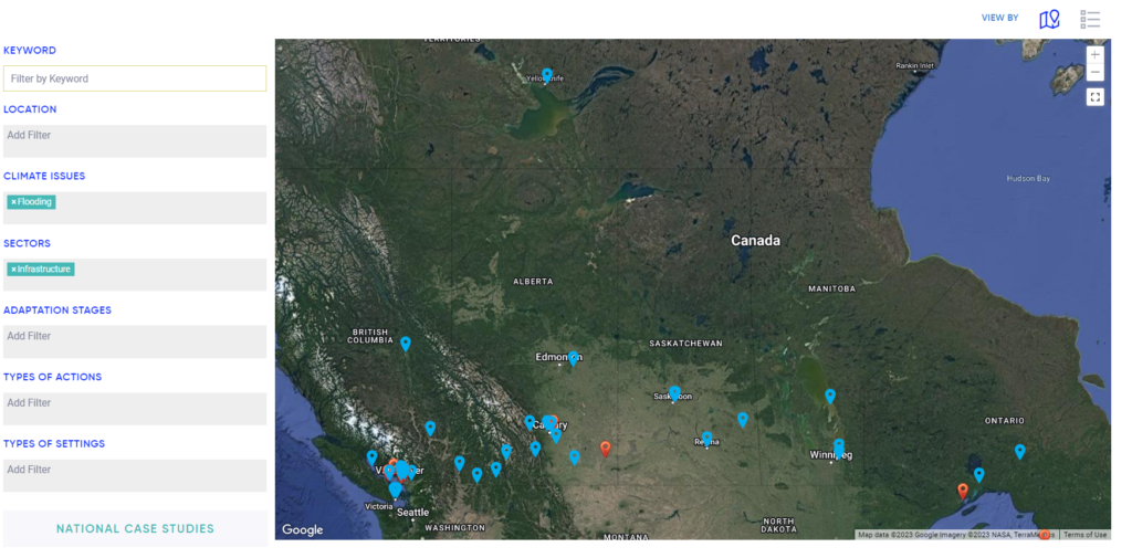
The map operates by using filters to choose the story of action you are interested in viewing. There are 5 main filters: Climate Issue, Sector, Adaptation Stage, Type of Action, and Type of Setting. These filters are explained below.
Climate Issues: The most common types of climate issues that adaptation plans are targeting, such as drought, flooding, sea ice changes, or infectious disease.
Sector: Indicates the industry, such as agriculture, mining, and energy.
Adaptation Stage: The Map of Adaptation Actions uses 5 stages to categorize project stages: understanding impacts, assessing risks and vulnerabilities, identifying actions, implementation, and outcomes, and monitoring progress. The case studies and case stories are placed within the Adaptation Cycle—an overview of the typical stages of developing and implementing climate change adaptation actions—as outlined in Canada in a Changing Climate: Sector Perspectives on Impacts and Adaptation (Box 2, p. 260).
Type of Action: Descriptions of the action, such as policy laws and regulations, built infrastructure, or nature-based projects.
Type of Setting: Where the project takes place: is it coastal, in a city, in the mountains, is it set on Indigenous lands?
Applying these filters, as well as the keyword and location fields, enables the viewer to explore a variety of adaptation projects across Canada, at various stages and in a variety of settings.
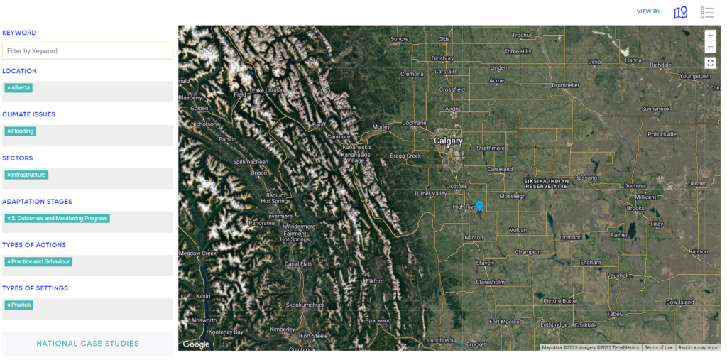
How to find the High River case study:
Location: Alberta
Climate Issue: Flooding
Sectors: Infrastructure
Adaptation Stages: 5. Outcomes and Monitoring Progress
Types of Actions: Practice and Behaviour
Types of Settings: Prairies, Southern, Cities
Mobilizing Adaptation Action
Communities across the country are dealing with the effects of climate change, including extreme weather events, degraded water or air quality, and erosion. These impact our infrastructure, natural areas, and human health and wellness. The examples presented on the Map can be used by communities at whatever stage of the adaptation planning they might be. From those just beginning their adaptation journey to those building resilience to their specific climate risks, the Map encourages a shift from a reactive position towards an anticipatory position that helps mobilize climate action.
High River in the 5 stages of Adaptation Actions:
- Understanding impacts: Experiencing the historic flood of 2013 and the damage to natural and built infrastructure.
- Assessing risks and vulnerabilities: Taking stock of the damages from the 2013 flood gave the community a blueprint for the risks of flooding in the city.
- Identifying actions: Physical hardening and managed retreat were identified as appropriate adaptation actions, as well as a ‘safe-to-fail’ plan in the likelihood a flood overtook any flood mitigation measures.
- Implementation: Construction of dikes, moving and re-building a poorly placed bridge, widening the river through buying properties along the river, and rebuilding in areas with lower risk.
- Outcomes and Monitoring Progress: These actions have made High River one of the most flood-secure cities in Canada. The adaptation plan is still ongoing, with more dikes to be built and different construction phases. Monitoring also involves ensuring that building zone restrictions are upheld in the future to deter building in high-risk flood areas.
The Map of Adaptation action provides inspiration, resources, and a realistic glimpse at adaptation actions in Canada and is an invaluable resource to anyone hoping to initiate adaptation planning.
Interested in learning more about the Map of Adaptation Actions? Register for our upcoming webinar here.